Latest briefs Browse latest →
Map Projections
Map projections route the round Earth onto flat maps by choosing which distortion to manage: area, shape, distance, direction, scale, or local accuracy.
Full visual brief
Follow the story
Sources & verification
Sources behind this guide, checked before publication.
Brief text
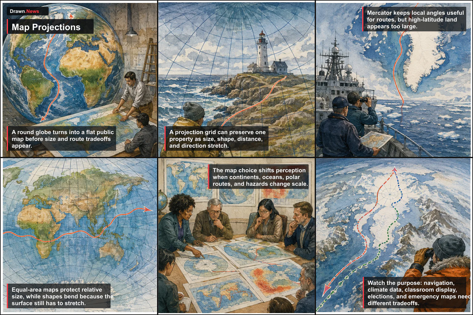
Map projections route the round Earth onto flat maps by choosing which distortion to manage: area, shape, distance, direction, scale, or local accuracy.
- Frame 1A round globe turns into a flat public map before size and route tradeoffs appear.
- Frame 2A projection grid can preserve one property as size, shape, distance, and direction stretch.
- Frame 3Mercator keeps local angles useful for routes, but high-latitude land appears too large.
- Frame 4Equal-area maps protect relative size, while shapes bend because the surface still has to stretch.
- Frame 5The map choice shifts perception when continents, oceans, polar routes, and hazards change scale.
- Frame 6Watch the purpose: navigation, climate data, classroom display, elections, and emergency maps need different tradeoffs.
How this was checked
- Reporting
- Cross-checked across 4 sources
- Claims
- We checked the names, dates, numbers, and core facts against the reporting linked above
- Artwork
- This is an editorial illustration based on the reporting, not source photography
- Published
- Sep 6, 12:46 PM EDT
- Our standards
- Editorial standards and corrections